

Did you know that SmallSat cameras can track wildfires from space? SmallSat cameras are now capable of monitoring fires in real time. Blazes can do extreme damage to both the environment and the economy. It is estimated the 2019-2020 fires in Australia caused over $100 billion in damage. Thanks to climate change and the incidence of fires increasing, the importance of the SmallSat cameras to track this deadly natural disaster is only growing! In this article, we are going to look at satellite fire monitoring and how scientists are identifying and preventing infernos.
What Are SmallSat Cameras Used For?
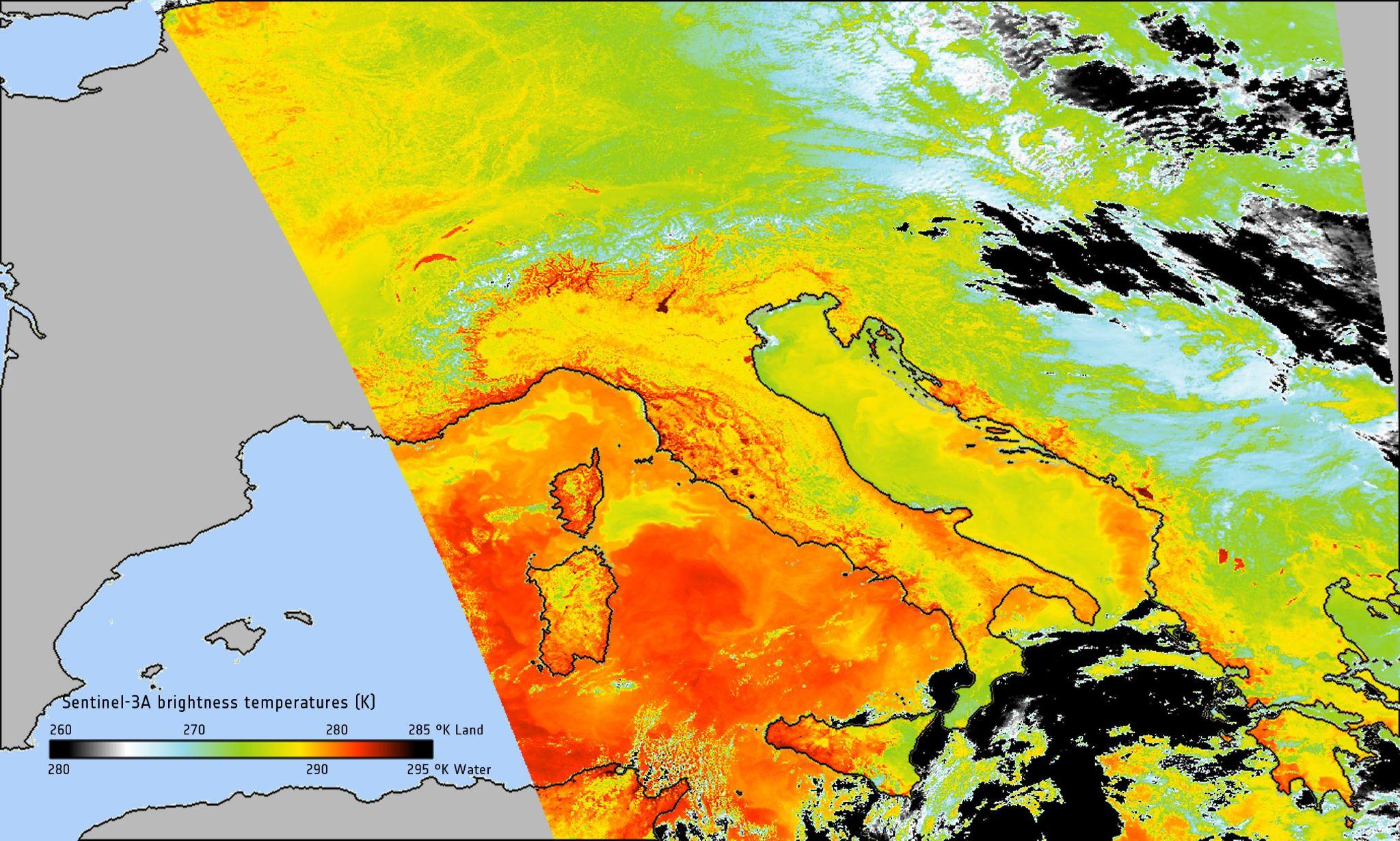
SmallSat cameras are used to take high-resolution pictures of the Earth. These images can be used for all kinds of things, including weather monitoring, crop tracking, studying animals and ecosystems, population monitoring, and even studying natural disasters like fires. We are going to break down all the things a fire monitoring satellite can do!
SmallSat Cameras Can Detect Fires at Early Stages
If a blaze starts in a remote location, it is usually a SmallSat camera that picks it up first! A SmallSat camera can pick up a remote fire in real time and then instantly send the exact location to the land managers. The issue with fires is that they can quickly spiral out of control before anyone notices they are burning. Once a blaze has built up momentum, it can be extremely difficult to put out, and the potential for destruction is immense.
SmallSat cameras are helping firefighters by quickly alerting them to new fires in distant areas. The firefighters then can rush to put it out before it spreads to populated areas. Modis satellite fire monitoring takes place via hot spot detection. Whenever the satellite detects a hot spot, it records the location. Satellite cameras have got so good at detecting fires that they beat calls to 911 by 15 minutes! SmallSat cameras are literally saving the lives of millions of animals, protecting trees, and preventing billions of dollars worth of damage through early detection of fires.
SmallSat Cameras Can Predict the Direction and Course of Fires
SmallSat cameras can not only spot blazes from space; with obtained data, scientists can now analyze the fire and determine where it is heading. A scientist monitoring the ring of fire via satellite is able to access real-time data and then feed it into computer programs that can reveal the likely direction the fire will take. This information is critical for organizing evacuations, protecting infrastructure, and saving lives. If agencies know where the fire is heading, they can develop effective strategies to combat the fire and reduce the loss of life. These programs are in their early stages, but soon they will be able to predict the path of blazes with amazing accuracy, ensuring that firefighters are adequately prepared to combat even the toughest blaze.
SmallSat Cameras Reveal Detailed Information About Fires
SmallSat cameras can do much more than identify hot spots and smoke around the globe. They can provide researchers with detailed information about a particular fire and inform them about a blaze’s smoke plume, temperature, size, power output, and more! All of this information is critical for predicting the danger a particular fire presents, how best to combat it, and the potential destruction it could cause. For example, a SmallSat camera may identify a fire that is quickly growing in size and power output; authorities then can quickly respond and divert significant resources to combat it.


